Prezzo a notte più basso trovato nelle ultime 24 ore, per un soggiorno di 1 notte per 2 adulti. Prezzi e disponibilità possono cambiare. Potrebbero essere previste condizioni aggiuntive.
Prezzo a notte più basso trovato nelle ultime 24 ore, per un soggiorno di 1 notte per 2 adulti. Prezzi e disponibilità possono cambiare. Potrebbero essere previste condizioni aggiuntive.
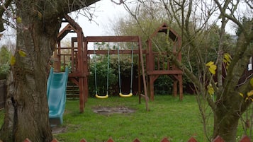
Desideri scoprire di più sul mondo della botanica? Visita Bressingham Steam and Gardens, a 3,7 km dai quartieri più centrali di Diss. Hai voglia di respirare un po' d'aria fresca passeggiando nel verde? Puoi scegliere tra Diss Mere Wildlife Garden e Scole Pocket Park, entrambi a pochi chilometri di distanza.
Ti stai chiedendo quali siano i musei più interessanti di Diss? The 95th Bomb Group Hospital Museum è senza dubbio uno di questi! Per scoprire un altro importante tempio della cultura di Diss, dovrai percorrere solo pochi chilometri e raggiungere The 100th Bomb Group Memorial Museum.
Non perdi occasione per fare acquisti? Allora No 8 Marketplace è il nome che devi ricordare durante il tuo soggiorno a Diss. Potrai scoprire la campagna di questa zona pittoresca e, se ne hai voglia, provare la vibrante scena notturna.
Se sei appassionato di teatro, fai assolutamente i biglietti per The Corn Hall; la tua permanenza a Diss sarà ancora più memorabile. Potrai scoprire la campagna di questa zona pittoresca e, se ne hai voglia, provare la vibrante scena notturna.
Diss è rinomata per attrazioni culturali come Bressingham Steam and Gardens e The 95th Bomb Group Hospital Museum. Questa città ospitale e circondata dalla campagna è famosa per i bar ed è conosciuta per Diss Golf Club e Diss Museum.
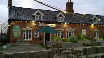
Diss è una destinazione accogliente che offre molto ai buongustai con i bar e altre occasioni tutte da gustare. Per fare il pieno di cultura locale a Diss, non perdere attrazioni come Bressingham Steam and Gardens e The 95th Bomb Group Hospital Museum. Scegli l'itinerario che preferisci, ma non dimenticare di inserire tra le tappe Diss Golf Club e Peddars Way.